COURSE DESCRIPTION
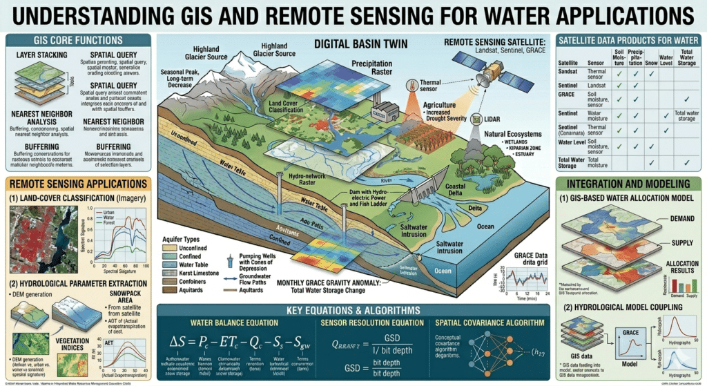
This doctoral-level course provides a comprehensive introduction to the principles and applications of Geographic Information Systems (GIS) and remote sensing technologies for water resources management. Students will explore the fundamental concepts of geospatial data, satellite remote sensing, and digital image processing, and their integration with hydrological models. Key topics include spatial data models and analysis, surface water mapping and watershed delineation, monitoring water quality and quantity, groundwater exploration, drought and flood assessment, and the use of Google Earth Engine for large-scale water resources applications. The course emphasizes a hands-on approach to solving real-world water challenges using open-source and commercial software, preparing students for careers in research, government agencies, and the water industry.
COURSE TEACHING OBJECTIVES
- Analyze the fundamental principles of GIS and remote sensing and their relevance to water resources assessment and management.
- Apply remote sensing techniques for mapping surface water bodies, monitoring hydrological variables (precipitation, evapotranspiration, soil moisture), and assessing water quality.
- Utilize GIS for watershed delineation, hydrological modeling, and spatial analysis of water-related processes.
- Critically evaluate the role of geospatial technologies in integrated water resources management, including flood mapping, drought monitoring, and groundwater exploration.
- Assess the emerging trends and challenges in the use of advanced geospatial techniques, including the integration of artificial intelligence and cloud-based platforms for water resource applications.
COURSE STUDENT LEARNING OUTCOMES
Upon successful completion of this course, students will be able to:
- Design and implement GIS-based and remote sensing-based methodologies for assessing water resources.
- Process and interpret satellite imagery to monitor surface water dynamics and hydrological variables.
- Perform watershed analysis, including delineation of drainage networks and calculation of geomorphic parameters using GIS.
- Critically evaluate case studies where GIS and remote sensing have been successfully applied to water resource challenges.
- Develop a geospatial framework for addressing a specific water-related problem (e.g., flood risk mapping, irrigation water management, or groundwater potential mapping).
Organization of Course Studies
The course is organized into five study periods (typically 2 weeks each, though self-paced). Each period includes intensive reading of the assigned textbook, viewing of the supplementary video, and a short response paper or ethical analysis (500–1,000 words) reflecting on the material and its application.