
COURSE DESCRIPTION
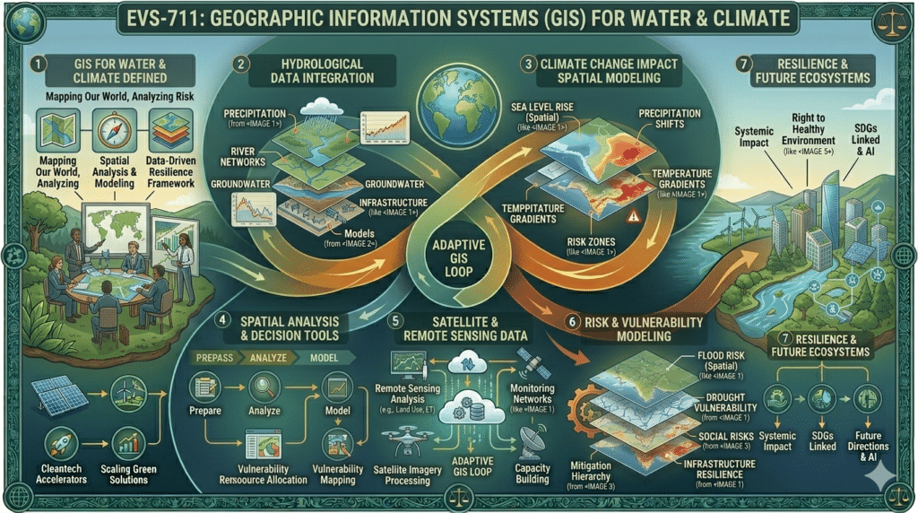
This doctoral-level course provides a comprehensive introduction to the principles and applications of Geographic Information Systems (GIS) for water resources management and climate change analysis. Students will explore the fundamental concepts of spatial data, mapping, and geospatial analysis, with a focus on the intersection of GIS technology and environmental science. Key topics include spatial data acquisition and management, hydrological modeling, watershed analysis, climate data visualization, vulnerability assessment, and decision support systems for water and climate adaptation. The course integrates theoretical foundations with hands-on applications, case studies, and emerging trends in remote sensing and geospatial analytics. Students will develop the skills necessary to design, implement, and evaluate GIS-based solutions for water and climate challenges at local, regional, and global scales.
COURSE TEACHING OBJECTIVES
- Analyze the foundational principles and techniques of GIS, including spatial data models, coordinate systems, and geodatabases.
- Apply GIS tools and methods for water resources assessment, including watershed delineation, hydrological modeling, and water quality mapping.
- Evaluate climate data and models using GIS for trend analysis, vulnerability mapping, and adaptation planning.
- Integrate remote sensing data and geospatial analytics for monitoring water availability, land use change, and climate impacts.
- Design and implement spatial decision support systems (SDSS) for integrated water and climate management.
COURSE STUDENT LEARNING OUTCOMES
Upon successful completion of this course, students will be able to:
- Create, manage, and analyze spatial data using GIS software for water and climate applications.
- Perform hydrological and watershed analyses to support water resources planning and management.
- Visualize and interpret climate model outputs and assess climate change impacts on water systems.
- Integrate remote sensing data with GIS for environmental monitoring and change detection.
- Develop a GIS-based spatial decision support system for a specific water or climate challenge.
Organization of Course Studies
The first part of the course will be completed at Coursera through the following link: https://www.coursera.org/learn/gis-geographic-information-systems-for-sustainability
Once done, submit your certificate along with your scores. The last step will be choosing a suitable MP title and writing your MP.